Geospatial Intelligence for Planetary-Scale Agriculture.
We merge raw satellite data with actionable land management. Our proprietary AI and remote sensing architecture quantifies greenhouse gas emissions, tracks macro land cover changes, and establishes total transparency for nature-based carbon initiatives.
Enabling UN FAO-aligned SDG compliance tracking across national borders.
Sovereign-grade monitoring infrastructure for ministries, multilateral programs, and inter-governmental frameworks enforcing macro-level land governance and climate transparency.
Brief our Policy Team
Validated at the Highest Levels of Global Governance.
Grassland Analytica's proprietary methodologies form the foundation of international agricultural policy. Our geospatial infrastructure and machine learning models have been presented to global bodies, including the United Nations FAO.
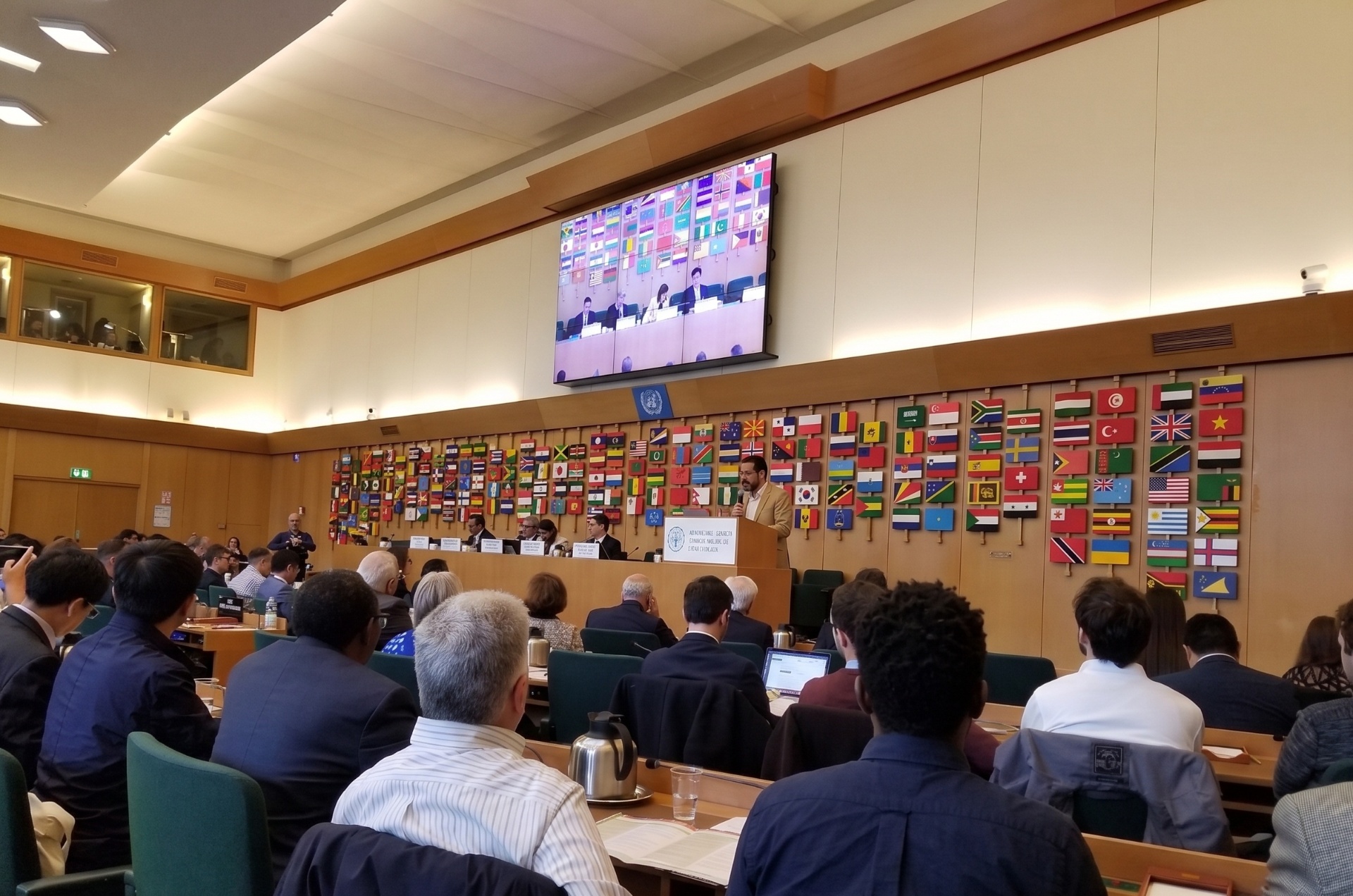
Briefing the UN FAO on the economic cost of soil erosion to global crop production.
Invited briefing at the UN FAO Headquarters (Rome) on quantifying the productivity losses inflicted by soil erosion on global crop production — and the role of satellite remote sensing in surfacing those losses at parcel, regional, and national scales for policy and food-security planning.
Four pillars of geospatial infrastructure.
Each module is independently deployable and interoperable through our unified geospatial data fabric.
Initiate Your Enterprise Deployment.
Connect with our architecture team to scope your custom geospatial infrastructure pilot.